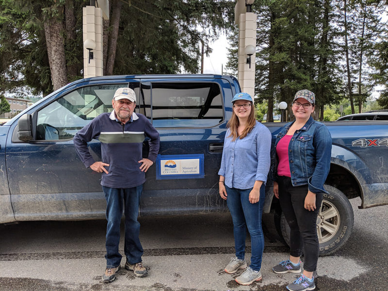
WILLIAMS LAKE—Producers used to keeping an eye out for suspicious activity were on alert in the Cariboo this summer when an unfamiliar vehicle bearing Alberta plates was spotted with a crew claiming to be working for the BC Ministry of Agriculture.
But all was well: the vehicle was indeed carrying a team of consultants whose work had been announced on social media by agriculture minister Lana Popham and distributed by ministry staff to stakeholders in the area. The crew was charged with conducting an Agricultural Land Use Inventory (ALUI) in the Cariboo as part of efforts to develop an agricultural water demand model (AWDM) for the region.
The inventory’s goal is to define the amount of actively farmed land in the region, provide a benchmark for monitoring land use change, identify land use trends for areas with historic ALUIs and assist land use planning including official community plans and Crown land use planning. ALUIs have been completed for the areas of south Cariboo, Lac La Hache and Green Lake.
The AWDM will enable the examination of water management alternatives that consider future land use changes, define potential impacts of climate change and identify appropriate adaptation strategies and inform future water storage modelling projects.
The agriculture ministry is using orthophoto satellite imagery to get an accurate representation of land surfaces.
The crew working in the Cariboo region this summer were verifying the orthophoto images for accuracy against what actually exists – that the images match up with the reality on the ground.
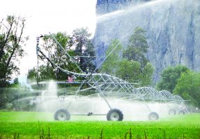
When paired with Statscan data, consultants will be able to confirm the location, crop, irrigation type and verify use for each land parcel in the region. This information is then run through the agricultural water demand model that will be used to determine how much water is needed on agricultural land and to look at changes in climate conditions and to assess future demand for water.
The main objective of the project is to have accurate information to be shared with local municipalities and regional districts so that they can make decisions about how to adapt and plan for climate change.
“The ALUI and AWDM is key information when local governments and other partners/agencies plan for agriculture,” explains Cariboo Chilcotin Coast regional agrologist Nicole Pressey. “With the changing climate and its potential impacts on food production in the region, resources such as the AWDM, the ALUI, the Climate Action Initiative’s Livestock Surface Water and Cariboo Pest projects and beneficial management practices through the Environmental Farm Plan can help producers, food processors, local governments and partners prepare for the change, and be resilient in the face of change.”
The project is especially important in the Cariboo for producers planning their livestock water use. The ministry hopes it will help private owners to think about water use, storage and management plans. Producers in the region are acutely aware of water use and there are parallel initiatives involving water projects happening in the Cariboo region. The Cariboo Cattlemen’s Association has engaged in several livestock surface water projects in recent years in partnership with the BC Agriculture and Food Climate Action Initiative.
“Although the funding for the livestock surface water project water developments applies to public land, it is important that all producers are aware of the work so they are aware of the tools necessary to be resilient in the face of change,” explains Pressey. “People cannot control the change, but they can control how they prepare for it.”

 Food-X connects shoppers, farmers