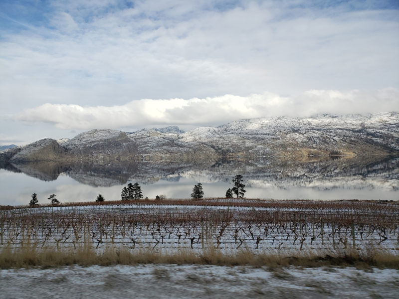
The cooler weather that rolled into the province this week bodes well for the Southern Interior, where warm temperatures at the end of March accelerated snowmelt beyond historical norms.
Province-wide, the snowpack averaged 99% of normal on April 1, according to the monthly report from the BC River Forecast Centre. This is down from 105% of normal on March 1, thanks to a combination of dry conditions and relatively warm temperatures in late March.
Individual basins run from a high of 134% in the Northwest to 72% in the Chilcotin.
“[The Okanagan] dropped from 86% of normal on March 1 to 74%,” says River Forecast Centre hydrologist Jonathan Boyd. “We’ve got one site at Brenda Mine, which is located on the connector between Merritt and Kelowna. It goes back about 30 years of data at an automated station with measurements taken every hour. … Right now, it’s pushing to be one of the earliest melts ever recorded at that station. That’s pretty substantial.”
But the arrival of cooler weather this week should help slow the rate of melting.
“It’s an ideal situation for Merritt and the Okanagan and lower elevation areas in the Cariboo and Chilcotin,” Boyd says. “For the agricultural side of things and areas in the Interior, it’s probably a positive to get into cooler conditions for the next week or so and wetter conditions.”
Cool, wet weather not only slows the melting but can add to the snowpack. Ideally, this will extend its life further into the spring, if favourable conditions prevail.
“The best case scenario for anyone in agriculture is to have the snow melt process get delayed as long as possible without any catastrophic flooding and keeping flows higher into the summer months,” explains Boyd.
While this week’s conditions may lower the risk of freshet-related flooding this spring in the Interior, it’s difficult to predict how the weather will impact the wildfire season.
“It really revolves around the weather as we move into May and June and into the summer,” says Boyd. “For areas in the South Interior, it’s definitely on aim to be on the worse-side-of-things, to have less snow. The catch-22 is that if you have high snow, which is better for drought and wildfire, it’s riskier for floods. Ideally, we want those average years, but they never seem to happen.”


 Irreparable harm, but no relief