High heat over the past two weeks has pushed the BC snowpack well below average for this time of year.
The latest update to the BC Snow Basin Indices released May 19 indicate that many basins through the central Interior as well as across northern BC are well below average for this time of year. Basins along the eastern slopes of the Rockies are also exceptionally low.
One of the lowest readings is in the East Kootenay snow basin, which indexed at 26% of normal as of May 15. A year earlier, it stood at 124%. Similarly, the Similkameen Basin indexed at 38% of normal this year versus 114% a year ago.
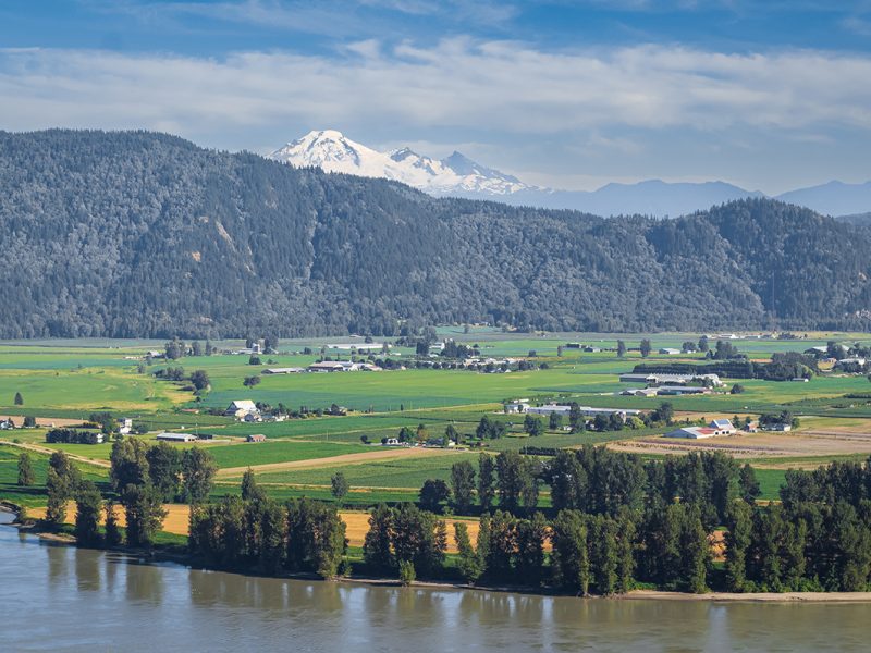
The Lower Fraser, by contrast is holding onto its snowpack significantly better, indexing at 74% this year versus 119% a year ago.
Overall, the snow basin index for the province averaged 66%, down from 91% on May 1.
“Snow basin indices are lower this year compared to last year due to contrasting weather patterns in early May,” the BC River Forecast Centre reports. “In 2022, cool and unsettled weather conditions presided over the province into late spring and substantially delayed snowmelt.”
The long-term forecast from Environment and Climate Change Canada indicates “a greater likelihood of above-normal temperatures” for almost all of BC through July.
The warm conditions create the risk for drier than normal conditions across northern Vancouver Island, the Central Coast and north to Haida Gwaii.
Vancouver Island and the Central Coast both entered the winter at a Level 3 drought rating, meaning further dry weather is a special concern.
The province will resume issue its first drought ratings of the 2023 season in June, once spring runoff abates.


 Vintners fine-tune estimates